
Unfenced
Land for sale that actually borders public land
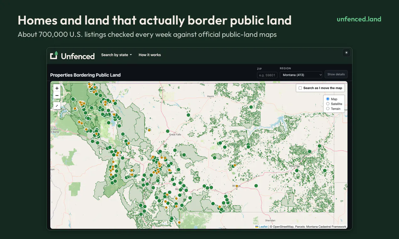
Checks ~700,000 U.S. listings every week against official public-land maps and shows the ~13,600 homes and land parcels that actually touch national forest, BLM and state land. Each one is measured from its county parcel boundary: the shared edge in feet, drawn on a map, plus how much public land is behind it, elevation, road access, flood zone and wildfire hazard. Search by ZIP or state. Free, no account needed.
AI Analysis
AI analysis not yet available for this product.
Similar Products

NextDoor.Company
Discover startups hiring near you, on a map
▲ 349 votes

Dopami
Household chores without the mental load for ADHD
▲ 143 votes

Walkable
Safety-first walking navigation to walk the safest routes
▲ 134 votes

Gladys Assistant 5
Private, self-hosted smart home, no YAML required
▲ 89 votes

Drafted
Design a home instantly with AI
▲ 77 votes

LooGo
Find public restrooms fast
▲ 0 votes